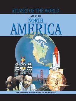
Atlas of North America
Students will enjoy a close-up encounter with the continent of North America and all its countries, including the United States, Canada, Mexico, Central America, and the Caribbean. Each spread features overviews, facts, statistics, and images related to the various region's peoples and beliefs, climate and vegetation, ecology and environment, and economy, politics, and history. Essential information regarding national, regional, and local culture, society, traditions, cities, capitals, geography, population, flags, natural wonders, engineering marvels, wildlife, industries, GDP, languages, religions, currency, and types of government are all included in dynamic, content-rich spreads. Readers are offered a wide array of features, such as maps, pictures, flags, globes, information panels, diagrams, and charts.
* Reviews *
Series Review: Atlases of the World"These books would be useful for an introduction to a maps unit or a country or area study unit. They also make good browsing material."
--Library Media Connection


